Saturday, January 14, 2012

Palm Canyon, AZ

The Yuma climbing club confined for the first time, and took a trip out to palm canyon. Rockclimbing.com speaks of a 3 pitch water streak in palm canyon. I had never been to palm canyon, so I wasn't sure how easy it would be to find this climbable water streak.

 View up the canyon from parking lot

There was a promising looking water streak at the opening of the canyon. The approach was a little rough. Once we reached the water streak we found it to be pretty chossy. The surrounding area was more chossy, than the water streak, but the streak still wasn't good climbing.

 The climbing club at the bottom of the water streak

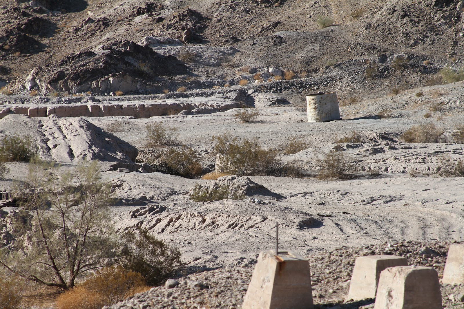
After the first water streak didn't work out too well, we continued up the canyon trail, looking for the 3 pitch route.

 The Palms

A little ways up the canyon we stopped at this promising looking spot. The bottom 15 feet or so were not too chossy. We spent a little bit of time bouldering here. 

In the end we never did find the climbable water streak. We will have to contact the guy from the forum to find out more information on this climbing spot. Not sure if it is worth while to climb here since it is almost just as far away as Valley of the Moon, which has much better climbing. There is some good hiking and exploring to be done in Palm Canyon, but not so much with the climbing.

Monday, January 2, 2012

Tumco gold mines, CA

After searching the CA BLM site I found out about Tumco mines and it wasn't too far from Yuma. It is an old gold mining area that still is mined at, but with more modern mining practices. I wandered around for about 3 miles in the 100 degree fall.

Current mine

It was easy to get to. The parking area didn't offer much information, but you could see somewhat of a trial with shaded benches and site marker. So I just headed off in that direction.


There is not much left of what was at one time the town. A few foundations and shacks, and the leaching tanks are all that remains.


This area still has some old mines. They look pretty inviting, but some articles about people dying in them was enough to deter me.


Since i had no guide of any type I didn't know what most of the marked sites were. other than the leaching tanks.

Sunday, January 1, 2012

Picacho State recreation area, CA

Picacho, is a little park along the Colorado river in CA. I discovered by accident on my trip down Indian Pass road. At the end of the road I hit the park, and the fee area which was one of the things that caused me to turn around.

I did some research and found there was an easier route into the park, Picacho road, which is mostly unpaved. It is a well kept dirt road, passable by passenger cars, rvs and trailers, but the going will be slower. In my truck I can make it from Yuma to the park in about 45 minutes.

A web site recommended the stamp mill trail and ice cream canyon. I decided to make that my first hike, because it was a nice long loop. I did it back in October when the daytime temps were still hitting 3 digits. It was my first time using my iPhone with the GPS app. I was really impressed with the views of the Colorado river on this hike, It is around this area that the Colorado goes from canyons to the flat open desert. The stamp mill from the days of gold mining are also pretty well preserved.


Today I made my second trip to Picacho. I decided to hike the Red Rock falls. It is a pretty short hike if you just walk up the wash to the falls. By a happy accident I missed the falls because I took a side canyon and looped up and around above the falls without seeing them until my return trip. After about a mile of following the wash I started following the wild burro trails. Then I headed back down to the wash and took a side canyon, before deciding to go to the top of one of the low peaks for some photos. I became slightly disoriented after I was done taking the photos and almost set off in the wrong direction. I managed to regain my bearings and head back to the main wash that has the falls. When I reached the falls I was surprised. It is just a cliff with a little spout. I am sure it looks pretty impressive when there is water flowing through it, even if just a trickle.


 Desert Pool

Red Rock Falls from the bottom


When I finished Red Rock, I wasn't quite ready to leave yet so I decided to hike the Stewart Lake trail. This trail can be done as a loop, but I did it as an out and back. Near the campgrounds the trail was pretty overgrown, and in a few other areas there were some sharp desert plants across the trail. This was a pretty easy hike offering some good views of the Colorado river.

Saturday, December 31, 2011

Red Rock Canyon, Las Vegas, NV

While I was in Vegas, I made a trip out of the city to visit Red Rock canyon. It happened to be Veteran's Day weekend, which was one of the national parks free weekend, an added bonus.

I didn't have my climbing gear, so I couldn't take advantage of the climbing. But I did explore the red canyon a bit.

View from visitors center

The first stop we made was at Calico II


At the High Point Overlook of the drive, Las Vegas in the background

Also took a walk along Lost Creek trail to one of the waterfalls, but it was barely dripping. The hike details can be seen at the bottom of this post.


No falling water today

La Jolla Cove

The day after Christmas I made my way over to La Jolla Cove outside of San Diego, CA. It was pretty crowded and parking was a premium. I was lucky and found a spot right next to this little beach that was covered in seals.
 Looking down from where I parked
 View down on the beach with the sea cliffs in the distance

As we walked down towards the cove there was this single seal on this rock. It was still for a while and almost looked like a statue.
 There were plenty of pelicans, seals and some crazy people in and around the water. Some people had full wet suits, while others were in just bikinis. I did not get in the water on this trip. 58 degrees is a little cold for me, and I did not come prepared.

We turned around at "Sunny Jim" cave. It looks like an inviting cliff jump, enough so that they have a sign forbidding it. No Lele Kawa on this trip.


-James

Sunday, December 4, 2011

Biking near Yuma Dec 4th

Went out biking again. For the first time there were other people over there. As I pulled up there was a guy finishing up his day of riding. I guess I'm still the only idiot that rides in Yuma at one in the afternoon.

Since it was a nice cool day I rode a lot further than my last few rides. I did over 30 miles. I took the trail I road down last week up all the way to the top of the range, and just kept following the trails north. Then I headed down on a trail back to the canal. The canal road was the worst part of the ride, I should have just road the single track I rode up back the where I started. The canal road wasn't strait and just very boring and I was already getting tired. I should have stayed on the far side of the canal. It would have been a strait shot back to the parking area. Maybe next time.

The map below show most of the route. The app was having glitches in the beginning of the ride so the track doesn't show up right, from the parking lot to the first photo. I think some of the pictures from this ride are pretty good. No video this time.


Exploring the Valley of the Moon

No rock climbing here in Yuma, but looking online there were some suggestions to go to Valley of the Moon in CA. Of the three places around Yuma to climb all about 90 minutes drive away, this is the one that had the most info about it.

I picked up a rock climber I barely knew and loaded with my iPad with maps and info from Rockclimbing.com we headed out. Missed the dirt road heading up there at first but after reviewing the map managed to find it. The first two miles aren't too bad if you have a high clearance SUV or truck. At the two mile point you hit a fork in the road. The road heading down to the valley is pretty bad. Two bad for my stock truck to handle.

After parking the truck we hiked in the cold about a mile to the first rock climbing area, tombstone. There were some other climbers there working the sport routes there. So we looked around for some other routes. There was a lot of choss, so it was hard to find any other routes to climb.

We tried a little bouldering, then found a nice little trad crack route. By the time we were done on that crack the sun was heading behind the mountains, so we called it a day, even though we hadn't got much climbing in. The trails and sights were pretty awesome, even if the climbing wasn't.